No products
 View larger
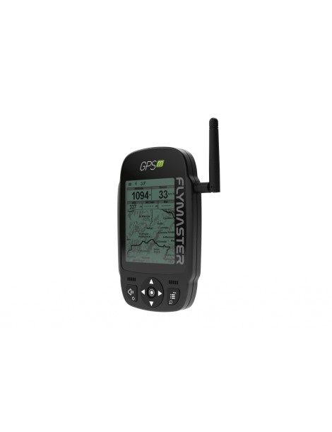
Flymaster GPS-M Flarm
New product
Flymaster presents the new M series instruments, namely the VARIO M and the GPS M. These new instruments will replace Vario SD and GPS SD.
Delivery time: in stock at the supplier
-
There are many improvements at all levels, and while maintaining the DNA of Flymaster instruments, everything has been designed and built from the ground up, compiling feedback from our many loyal pilots around the world.
Innovations
Better build and sturdiness
More modular build
Easier reparability
Better visibility under direct sunlight (display much closer to the protective lens)
New User Interface
USB type C
Mass storage device capability
New "cut-side" view (GPS M only)
IGC creation to mass storage (SD card)
New landscape mode
Bigger fonts in landscape mode
Built-in Flarm beacon as an option (GPS M only)
Optional bumper case
New buttons for better usability with gloves
Altitude graph in instrument's flight log
Improved Airspaces representation
Loading waypoints from mass storage file (SD card)
Works with Flymaster Instrument Manager software
Import layouts from instrument
Variometer/Altimeter features
Buzzer/near thermal sound.
Ultra sensitive variometer with 10 readings per second and 10 cm resolution.
Configurable vario digital filter and integration values.
Fully configurable Vario Sound (frequency, increments, frequency/vertical speed relation,....).
6 Sound Levels (configurable by menu, or using a key).
Automatic mute, keeps vario silent until takeoff.
Altitude adjustment using QNH.
Automatic altitude adjustment from GPS.
2 independent altimeters.
Memory features
3D flight logger IGC format.
Storage for >300000 track points.
Up to 248 flights.
448 waypoints.
3D Airspace
Compatibility with Open Air format (upload of files using Designer).
Display of restricted areas in map
Adjustable warning vertical distance to a restricted area
Adjustable warning horizontal distance to a restricted area
Display of shortest vertical, and horizontal, distance to restricted area
Resctrited area alarms (Altitude imminent, Position imminent, Violation, ...)
Critical Airspace page (displays information about areas that are closer than a defined distance)
Worldwide Airspace database (SD card required)

